A dispersed camping app helps you spot public land, save offline maps, and cross-check rules before you sleep outside a developed campground. For most hikers, pair one mapping app with one official land-manager source. No app alone makes camping legal; yes, apps help if you verify roads, boundaries, fire rules, and permits.
What is the best dispersed camping app for most hikers?
Gaia GPS is the strongest all-around pick for hikers who care about map layers.
As of November 2026, Gaia GPS says its app and website can show your location, record tracks, download maps for offline use with Premium, and use layers such as Public Land, Private Land, MVUM, USGS Topo, and satellite imagery. That mix is exactly what you want when you are trying to answer three field questions: Am I on public land? Is this road open? Can I get back out if the weather turns?
onX Backcountry is the cleanest choice if public-land boundaries are the main problem you are solving. As of November 2026, onX lists public land boundaries and designations, private land boundaries, landowner names, offline maps, and dispersed camping features across its plan levels. Read the plan details before you pay, because feature access can change.
Avenza Maps is the practical tool for official PDFs, especially Motor Vehicle Use Maps. The Dyrt is better for leads, campground-style browsing, and trip planning. iOverlander is useful when you want crowd-sourced pullouts and notes, but treat every pin as a rumor until an official map backs it up.
| App | Best use | Watch-out |
|---|---|---|
| Gaia GPS | Layer-heavy hiking maps, offline planning, public/private land checks | You still need to confirm local closures and fire rules |
| onX Backcountry | Public-land boundaries, private-property awareness, simple trip planning | Check which features are in your subscription level |
| Avenza Maps | Reading official PDF maps such as MVUMs in the field | Less helpful for discovering campsites from scratch |
| The Dyrt or iOverlander | Campsite leads, road notes, photos, and user reports | User pins do not equal legal permission to camp |
Can an app tell you if dispersed camping is legal?
No app is the final authority.
An app can point you toward public land, show a boundary, or surface a road that other campers have used. That is useful. It is not permission. Land managers close roads, restrict campfires, require permits, limit group size, protect water sources, and block damaged areas when conditions change.
Use apps for scouting. Use official sources for decisions.
Can you camp anywhere on BLM land?
No, but BLM land is often the easiest place to find dispersed camping.
As of November 2026, the Bureau of Land Management camping page says dispersed camping is generally allowed on most BLM lands unless an area is posted “Closed to Camping” or has site-specific restrictions. The same page says dispersed camping is generally limited to 14 days within a 28-day period, with local variation by state and field office. After the stay limit, campers must move to a new location, often 25 to 30 miles (40 to 48 km) away.
That word “generally” matters. A desert wash, archaeological area, wildlife closure, restoration zone, or busy trailhead corridor can have tighter rules than the big-picture BLM page. Before you settle in, check the local field office page, read signs on the ground, and avoid creating a fresh scar just because your app shows yellow public land.
How do Forest Service dispersed camping rules work?
Forest Service rules are local, and your map needs to match the forest you are standing in.
As of November 2026, the U.S. Forest Service maps page says Motor Vehicle Use Maps show designated roads, trails, and areas for motor vehicle use, and that you are responsible for knowing which routes and areas are open. That is why MVUM data matters so much for dispersed camping. A pretty topo line is not enough. If you drive to camp, the route has to be legal for your vehicle and season.
Many national forests allow dispersed camping outside developed campgrounds, but each forest can set its own camping setbacks, stay limits, road rules, seasonal gates, fire restrictions, and no-camping zones. If a forest says camping is allowed only along specific corridors or only in numbered sites, your app has to bow to that rule.
Do national parks allow dispersed camping?
Usually, think “backcountry camping,” not casual roadside dispersed camping.
National parks are managed park by park, and the rules are stricter than most BLM or Forest Service land. As of November 2026, the National Park Service backcountry camping page tells visitors to check necessary permits and park regulations before a trip. Some parks use designated campsites. Some use camping zones. Some require advance reservations. Some areas are closed to overnight use.
If your app shows a flat spot inside a park boundary, do not treat it like a public-land free-for-all. Go to that park’s official camping or wilderness permit page and follow the permit, site, food-storage, fire, and group-size rules there.
How do you check a dispersed campsite before you go?
Use a two-map system: one app for scouting, one official source for legality.
- Pick the land manager. Use your app’s land layer to see if the spot is BLM, Forest Service, state land, tribal land, private land, or inside a national park.
- Confirm the boundary. Zoom out and look for inholdings, private parcels, wilderness edges, and park borders.
- Check the road. For national forests, compare the route against the current MVUM. For BLM land, check the local field office travel map when one exists.
- Read local camping rules. Look for stay limits, setbacks from water, group limits, seasonal closures, and designated-camping corridors.
- Check fire restrictions the day you leave. Fire rules can change fast in dry, windy weather.
- Download offline maps. Save maps before you lose service, then put your phone in airplane mode to protect battery life.
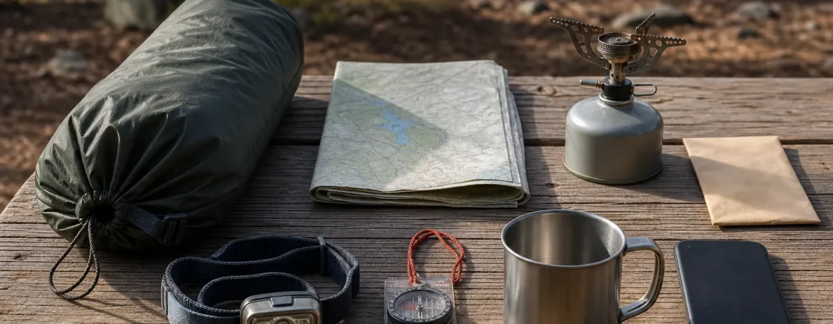
- Have a backup. Carry a paper map, compass, or downloaded PDF. A dead phone turns a smart plan into guesswork.
What should you look for in a campsite-finding app?
Look for layers, offline access, and source transparency.
A strong dispersed camping setup should help you answer practical questions fast. You do not need the flashiest interface. You need trustworthy layers and a way to use them without cell service.
- Public land and private land layers
- Offline map downloads
- Topographic lines and shaded relief
- Satellite imagery for road surfaces and clearings
- MVUM or agency road data where available
- Waypoints for backup sites, water sources, and trailheads
- Track recording so you can retrace the route out
- Clear update dates or links back to official data sources
Skip any app that makes legal camping look too easy. Real dispersed camping requires judgment. You are choosing a durable surface, staying away from water, packing out trash, and leaving the site ready for the next hiker, hunter, climber, paddler, or family rolling in after you.
What is the simplest app setup for a weekend trip?
Use one main map app, one official map, and one backup list.
For a normal weekend, do not clutter your phone with six competing apps. Pick Gaia GPS or onX Backcountry as your main planning map. Add Avenza if you need an official MVUM PDF. Use The Dyrt or iOverlander only for leads, then verify the land status yourself.
Save three kinds of waypoints: your first-choice site, two backup sites, and the turnoff back to pavement. If the road is rutted, the site is occupied, or a sign says no camping, you will not burn daylight inventing Plan B.
Related reading
- Dispersed Camping in Colorado: Best Areas and Rules
- What Is Dispersed Camping and Where Is It Allowed?
- Best Camping Stoves
- How to Plan a Camping Trip
FAQ
What is the most accurate app for dispersed camping?
The most accurate setup is an app plus an official land-manager source. Gaia GPS and onX Backcountry are strong for boundaries and offline maps, but legal accuracy comes from BLM, Forest Service, park, or state agency rules.
Is The Dyrt good for dispersed camping?
Yes, The Dyrt can be useful for finding leads. Treat reviews and pins as starting points, then confirm the land manager, road access, closures, and camping rules before you go.
Is BLM dispersed camping free?
Often yes, but not always. As of November 2026, BLM says most dispersed areas do not require permits or reservations, while some regions can require permits for large groups, campfires, or special areas.
Can I sleep in my car while dispersed camping?
Yes, if overnight camping is allowed at that location and your vehicle is parked legally. Check road designations, no-camping signs, trailhead rules, and local stay limits before you settle in.
Do I need cell service for a dispersed camping app?
No, not if you downloaded the right maps first. Offline maps can show your saved map and GPS location without cell service, but they will not fetch new closures, weather alerts, or fire restrictions once you are offline.